CHATTAHOOCHEE RIVERLANDS
ABOUT
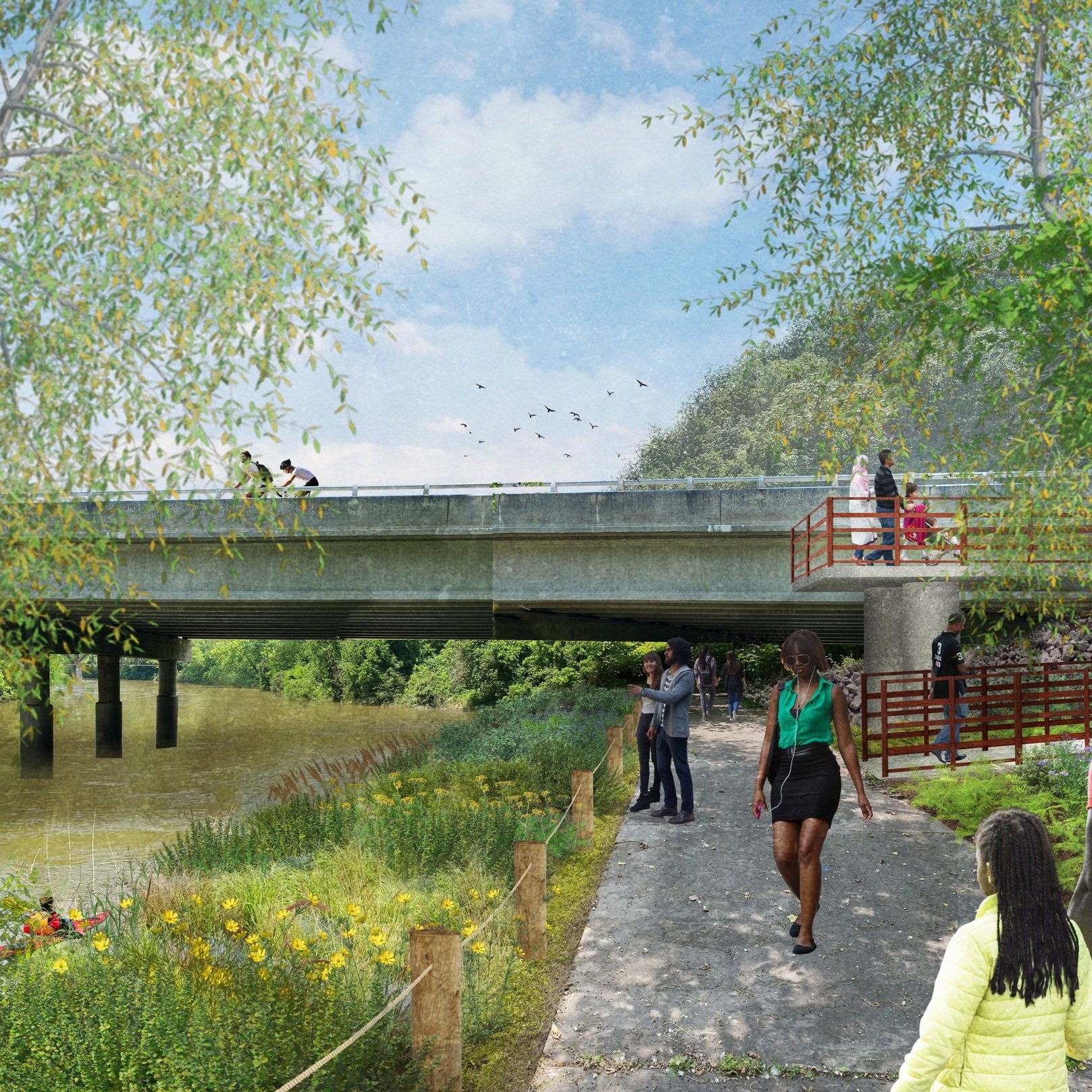
The Chattahoochee RiverLands is a vision for an activated metropolitan river corridor: a network of greenways, a blueway (the river itself), tributary trails, and parks—all working together to connect people to the outdoors. When completed, it will link 19 cities and seven counties and include 42 water access points and eight campsites. The Trust For Public Land created this vision and is coordinating the efforts of cities and counties along the river to bring it to life.
Atlanta lies at the midpoint of the network with just over 3 miles of riverfront. Extensions of the Proctor Creek and Whetstone Creek trails will connect Atlanta to the Chattahoochee and the future RiverLands trail network. This work is just beginning, with the Chattahoochee Brick site being one of Atlanta’s initial projects.
The Chattahoochee RiverLands will promote a safe and connected corridor, a common ground for everyone, an ecological refuge for the region, and a living legacy of conservation and education. The ARC Board adopted the Chattahoochee RiverLands in August of 2020, and the City adopted a resolution of support in February 2023.
CITY DESIGN CORE VALUES
All Office of Design initiatives incorporate at least one of the Atlanta City Design core values.
‘Atlanta Reach’
While the Chattahoochee RiverLands Study presents a regional vision, significant work remains to advance this vision locally. There are approximately 7 miles of Chattahoochee riverfront along the western edge of the City of Atlanta. Approximately four miles of that riverfront, dubbed the ‘Atlanta Reach’ will be activated as part of the Chattahoochee RiverLands.
This stretch of the river will be one the most accessible in the region, with up to 3 potential water access points along the Blueway Paddle trail, 5 proposed greenway trailheads, 4 future regional trail connections, and 15 existing bus stops within a 15-minute walk. This segment of the RiverLands will also complete connections with many regional trails including the Atlanta BeltLine, the Silver Comet Trail, the Whetstone Creek Trail, and the Proctor Creek Greenway as well as a RiverLands trail segment being advanced on the Cobb County side of the river.
The City of Atlanta received funding from ARC to conduct a scoping study for the Atlanta Reach portion of the Chattahoochee RiverLands. The purpose of the scoping study is to further refine the preferred alignment of the Chattahoochee RiverLands trail. The study will also consider and make informed decisions about the location and purpose of any new park spaces, river access points, and balance the restoration of the river’s ecosystem and remediation of former industrial sites with greater access to the natural amenities provided by the Chattahoochee River.


